On Sunday the 12th of June 2017 I met Sioban at Harold Wood and we drove over to Wotton in Surrey for another Walking For Pleasure South East (WFP SE) meet. We arrived at just past 10 o'clock where we met the others in the car park of Wotton Hatch Pub.
Wotton is wholly within the Surrey Hills Area of Outstanding Natural Beauty and includes the small village itself, the smaller settlement Friday Street, Leith Hill to the south and Ranmore Common to the north. Wotton lies in a small north then west facing valley.


The church was founded in the Saxon period, but only partial foundations remain from that period. The tower and chancel are Norman, and the rest is 13th century, with one notable exception; to the north side of the north aisle is the red-brick Evelyn Chapel, burial place of generations of Evelyns from Wotton House. The most famous burial within the chapel is that of diarist John Evelyn, who died in 1706. Evelyn himself probably planted some of the large trees that ring the leafy churchyard.


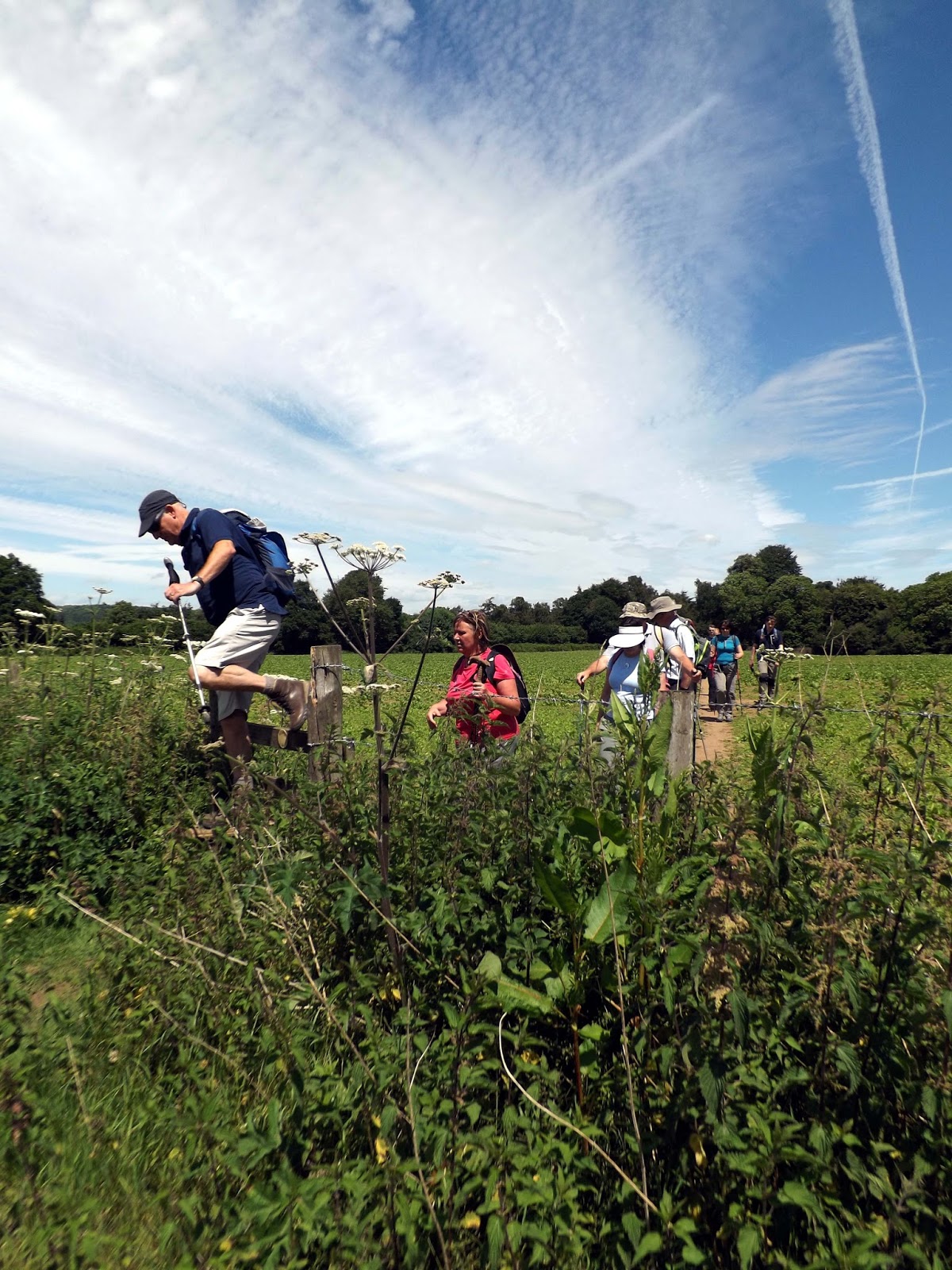
We take a path overgrown with brambles and nettles (glad I decided not to wear shorts today) alongside the church and then uphill to to path that ran alongside a wooded area.


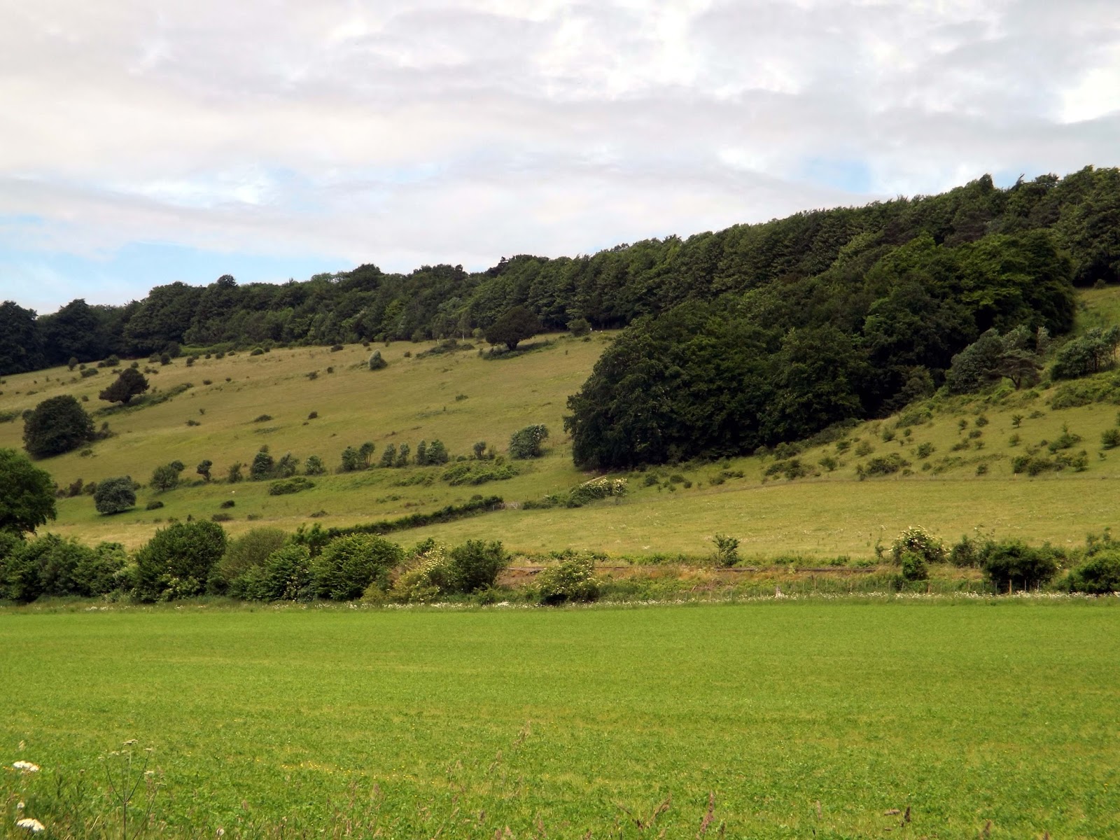
We walk through White Lease Down with views across to Westcott and beyond.

The first farmers in this area removed much of the original woodland cover to create fields for their crops and livestock.Their grazing animals prevented the regrowth of trees and coarse vegetation, which allowed the special wildlife habitat known as chalk grassland to develop and thrive. Chalk grassland has always depended on continued active management for its survival, which is why the National Trust and Surrey Wildlife Trust use cattle and sheep to control the
growth of vegetation. As a result, the chalk slopes are rich in orchids and chalk-loving butterflies such as Adonis and chalkhill blues, silver-spotted skippers and marbled whites.


 |
| View to Ranmore Church where we are now heading |
 |
| Views down to Westcott |

The views are outstanding and viewpoints along the North Downs were strategically important during the Second World War, which is why so many pillboxes were built here.

We gather at the top of the hill to regroup before we pressed on towards Ranmore Common, where we are to take our first break.

The North Downs Way National Trail, a long-distance path that runs from Farnham to Dover, via Canterbury.

We reach Ranmore Common after a walk through the woods and stop for a break.

Ranmore Common is an area of wooded former common land on the North Downs, immediately northwest of Dorking in the English county of Surrey.


After a quick bite to eat and drink I left the group for a bit to rush over to see the church, that we otherwise wouldn't pass.


St Barnabas Church on Ranmore It is certainly a landmark in the
surrounding area and is commonly known as the ‘Church on the North Downs
Way’.

St Barnabas Church, Ranmore, The church of the North Downs Way, was built in 1860.

I hurried back as the church sat further away from the group than it appeared. As I reached Ranmore Common, David was waiting for me and it didn't take long to catch the group back up.
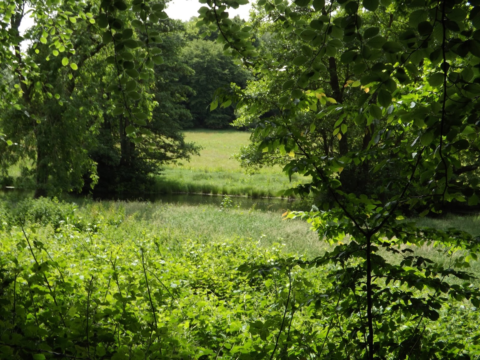
Now it was downhill steeply through a wood on slippery chalk in places before leaving the wood for open fields again.


At the bottom of the hill we cross the railway tracks into another field.


We walk alongside Horleys Copse before reaching Westcott.
 |
| Path leading to Westcott |
In the 20th century Westcott was the site of the Rocket Propulsion Establishment, which was on the former RAF Westcott airfield to the west of the main village. This has since been closed down, and the area is called the Westcott Venture Park. BAE Systems maintains a presence on the site (BAE Systems Environmental) which advises on the decommissioning of military sites.
 |
| Find the odd one out? |


We cross the Milton Brook, where Toby the labrador decided to take a swim and got stuck under the bridge behind a fence, a few frantic minutes were spent trying to entice back under the bridge.

Now after walking behind some houses the path climbs uphill again.


We cross the A25 again and up School Lane and along another path where we emerge on Westcott Heath.


We take another path through a wooded area before walking up Rookery Drive to some delightful chocolate box houses.


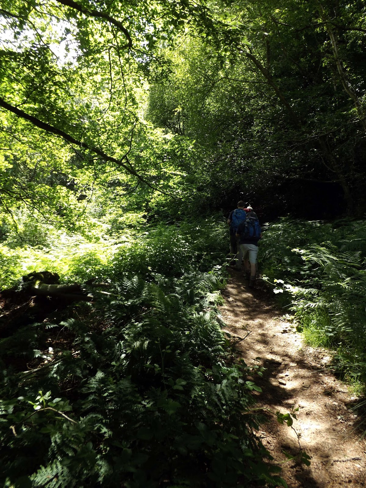
Again we enter a wood and a steep uphill climb, a bit of a slog. But what a pretty wood.


At the top of the hill, we took a breather and sat on a log and had a drink before carrying on.

We crossed a field of what appeared to be Beetroot before crossing a stile at the end and into a lane.

We are now on a path that runs parallel with the River Tillingbourne.


Along this track we were met with a pleasant surprise, a waterfall.

The waterfall at Broadmoor which inspired ‘Falls Gold’ – CAMRA’s Champion Ale, London & South East 2014 from Shere’s Tillingbourne Brewery and has been the spot for many a marriage proposal.

This is Surrey’s largest natural waterfall with five tiers, the top ones are obscured with vegetation, . It’s nestled deep in the Surrey countryside near to the tiny hamlet of Broadmoor in the Wooten estate.


We continue on along the path heading now towards Leith Hill.


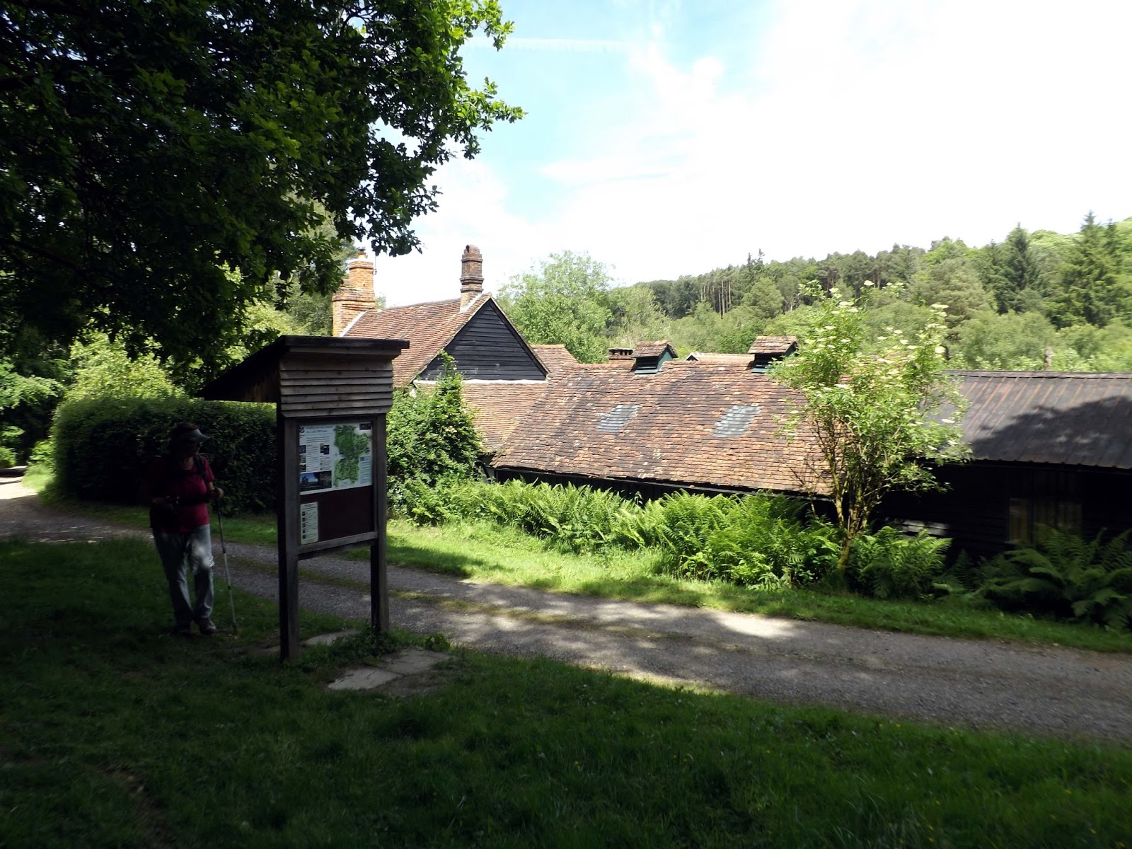
We reach Henman Bunkhouse managed by The National Trust.


We pass a Lily Pond on The Wotton Estate that Monet himself would have been happy to paint, just so pretty.


Now we enter into Dukes Warren managed by The National Trust.


 |
| Toby again not missing a chance for a cool down. |

 |
| Views across the Cricket ground to beyond |


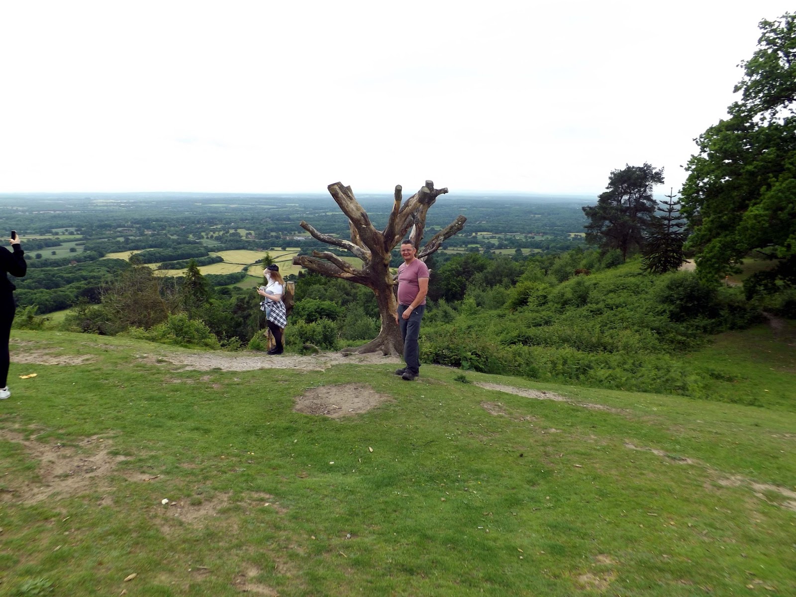
After much climbing we reach the top of Leith Hill where we meet The Leith Hill Tower.

The tower can be seen from the surrounding countryside and the top is the highest point in South-East England at 1029ft (329m).
From the top you can see sweeping views and on a clear day you can see the English Channel to the south and the clock face of Big Ben in Westminster to the north.
Using one of the telescopes and you could see a boat on the English Channel from the top of the tower.

The tower was built in 1765 by Richard Hull of Leith Hill Place as 'a place for people to enjoy the glory of the English countryside'.


We stop for something to eat and drink from the tower, most go for the pasties that Daniel said are a must. But I just couldn't resist a Cream Tea.


After I had finished eating I climbed the 78 steps to the top of the tower to take in the views. Shame that the clouds had drawn in now and the had got up, that meant I couldn't see as much as you normally can but still great views.


 |
| View across to London |

On the summit of Leith Hill is an 18th-century Gothic tower. In 1765-6 Richard Hull of nearby Leith Hill Place
built "Prospect House", later to become known as Leith Hill Tower, with
the intention of raising the hill above 1,000 ft (305 m) above sea
level. The tower is 19.5 metres (64 ft) high and consisted of two rooms
"neatly furnished", with a Latin
inscription above the door announcing that it had been built not only
for his own pleasure, but also for the enjoyment of others. Hull
provided visitors with prospect glasses, similar to a small telescope, through which to survey the extensive views towards London and the English Channel, each some 25 miles (40 km) away.
When he died in 1772, at his request he was buried under the tower.
Following his death, the building was stripped of its contents, doors
and windows, and fell into ruin. As a result, the tower was filled with
rubble and concrete, and the entrance bricked up.
In 1864, Mr Evelyn of nearby Wotton House
decided to reopen it, but the concrete made this difficult, and so the
additional turreted side-tower was added to allow access to the top of
the tower.
At the top of the tower there is a viewpoint indicator to commemorate Walker Miles, whose work in the early days of the Rambler's movement contributed to the formation of The Ramblers of Great Britain. It has been claimed that on a clear day, 13 counties can be seen from the top of Leith Hill Tower.
The tower was fully restored by the National Trust
in 1984. This restoration included the removal of rubble and concrete,
fitting safety features such as a handrail in the narrow staircase, and
converting the lower portion of the tower into a servery.


Standing on the top of Leith Hill Tower you are at
the highest point in the south-east of England.


Battle Of Leith Hill
The
hill's first notable role in history was as a battlefield in the ninth
century struggle between Saxons and Danes. In 851AD the Danes planned a
full scale invasion, after raiding the country regularly for many years.
The Danes invaded up the Thames and burnt Canterbury and then London.
The next target was Winchester, but on their march towards Winchester
they met the army of Ethelwulf, father of Alfred the Great. Ethelwulf,
it seems, took up a position on the slopes of Leith Hill - an ancient
mass grave found in 1882 seems to point to this area as the sight of
battle (Stories of the Surrey Hills published by the Surrey
Society). Ethelwulf was able to use position on high ground to win the
huge battle that followed. This battle ended the Danes immediate
prospects of conquering the whole of Britain.


We push on after a rest at Leith Hill we walked on,through woodland crossing Sheephouse Lane towards Friday Street.

 |
| Crossing Sheephouse Lane |


We arrive at Friday Street and the pub Stephan Langton.

Stephen Langton (archbishop of Canterbury 1207-1228) was a famous
scholar and leading figure in the Church, and is also one of the most
important figures in the history of Magna Carta.

A former inn bore the name of Stephan Langton, Archbishop of Canterbury during the reign of King John and signatory of the Magna Carta and Martin Tupper, poet and antiquarian, wrote a biography of Stephan Langton in 1858 depicting his time in this area.

After a pint of Willingbournes 'The Source' I headed off with the group back towards Wotton.


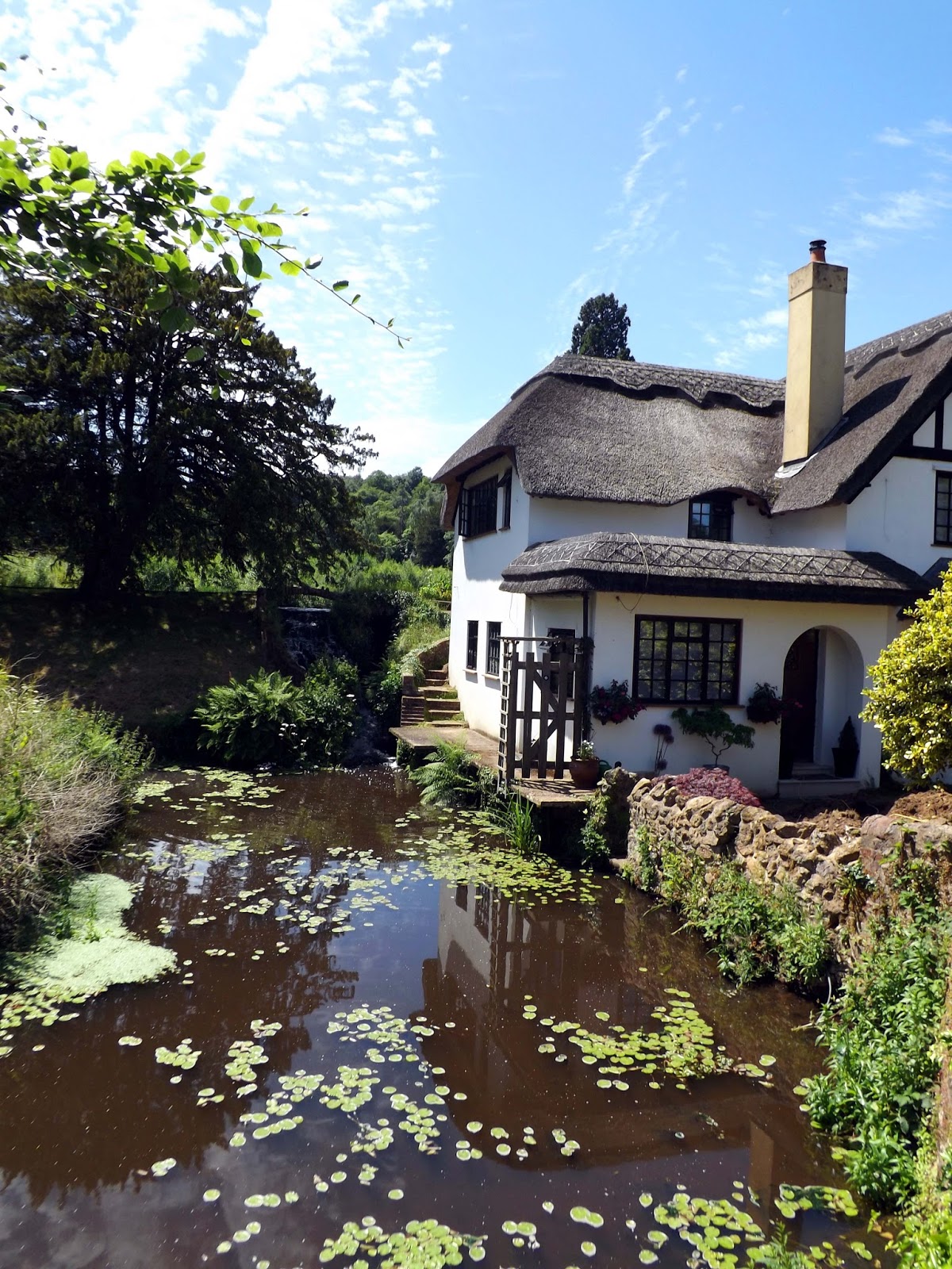
We walked through Friday Street and a dammed lake, once used for a mill I'm led to believe.


 |
| Just as well I didnt bring my shorts then. |


We walk the final stretch back to Wotton and the carpark.


After a great walk of 13.5 miles we are done. A big thank you to David for organising this walk and to the others for great company!

